
Modern Exploration Mining brings together geological investigation, geochemical analysis, geophysical surveying, remote sensing, exploration drilling, laboratory analysis, and increasingly sophisticated digital tools to understand what is present at and beneath the Earth’s surface. The objective is not simply to identify an anomaly, but to progressively build geological knowledge, evaluate potential targets, and determine what additional investigation may be justified.
This matters because mineral exploration is inherently uncertain and can require substantial investment. Global nonferrous mineral exploration spending reached approximately US$12.4 billion in 2025, according to S&P Global, although total spending declined for the third consecutive year. The report also indicated that exploration budgets were increasingly directed toward existing and near-mine areas, while grassroots exploration represented a historically low share of spending.
For mining companies, this environment makes exploration planning and data quality important considerations. An appropriately designed combination of exploration services can help investigate large areas, characterize geological conditions, evaluate exploration targets, and determine where more detailed work—including drilling—may be warranted.
What Is Exploration Mining?
Exploration Mining refers to the systematic investigation of an area to identify, characterize, and evaluate potentially valuable mineral resources before a mining project is developed. It is important to distinguish exploration from extraction. Exploration is primarily about gathering and interpreting evidence. A survey may identify a geophysical anomaly, a soil sample may show elevated concentrations of certain elements, or geological mapping may reveal structures associated with mineralization. None of these findings, by itself, demonstrates that an economically mineable deposit exists.
Instead, exploration is a process of progressively building geological understanding. A typical program may begin with regional geological information and remote sensing, followed by geological and geochemical investigations. Geophysical surveys may then be used to investigate subsurface physical properties, while selected targets can eventually be tested through drilling and laboratory analysis. The resulting information can be incorporated into geological models and used to determine whether additional exploration or project evaluation is appropriate.
This integrated approach reflects the multidisciplinary nature of mineral-resource assessment. Geological, geochemical, geophysical, remote-sensing, drilling, and other datasets can each provide different types of evidence about a geological environment.
Why Is Mineral Exploration Important?
Mineral deposits are not distributed evenly, and many potentially valuable deposits are difficult to identify from surface observations alone. Mineralization may be concealed beneath soil, vegetation, weathered rock, sediment, or other geological formations. As a result, modern exploration involves considerably more than looking for visible mineralization at the surface.
In Indonesia, the scale and geological diversity of the country’s mineral resources make systematic exploration particularly relevant. The Indonesian Geological Agency’s 2025 mineral and coal resource balance, based on data through December 2024, provides information on commodities, resources, reserves, geographical distribution, and the methodology used to update the national database. The publication covers commodities including nickel, copper, gold, bauxite, tin, and coal.
For exploration companies and project owners, this illustrates a broader principle: identifying and evaluating mineral potential requires reliable geological information and a methodical exploration strategy. Good Exploration Mining therefore does not begin simply by asking, “Where should we drill?” It begins by asking, “What do we already know about this area, what geological interpretation are we testing, and what additional information would help address the remaining uncertainty?”
Main Types of Mining Exploration Services
There is no single exploration technique that is appropriate for every project. The combination of methods depends on factors such as the commodity, geological environment, target characteristics, expected depth, terrain, project stage, available information, and specific exploration objectives.
Geological Mapping and Geological Investigation
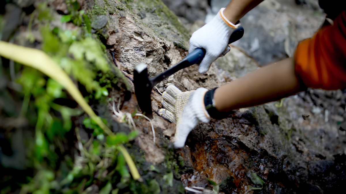
Geological investigation provides the foundation for many exploration programs. Geologists examine rock types, geological structures, alteration, mineral occurrences, stratigraphy, surface expressions, and other characteristics that may help explain the geological history of an area and its potential relationship to mineralization. Geological mapping can involve systematic field observations, outcrop mapping, structural measurements, rock sampling, mineral identification, and interpretation of existing geological information.
These observations are important because they provide geological context for interpreting results from other exploration techniques. Geophysical and geochemical anomalies, for example, generally need to be considered within an appropriate geological framework rather than interpreted in isolation. For Exploration Mining, geological mapping is therefore more than an initial field activity. It helps establish and refine the geological interpretation used to guide subsequent investigation.
Geophysical Exploration
Geophysical exploration investigates physical properties of the subsurface without requiring every part of an area to be excavated or drilled. Depending on the geological question, exploration teams may use magnetic, gravity, electrical, electromagnetic, induced polarization, magnetotelluric, seismic, radiometric, or other geophysical techniques.
Different methods respond to different physical properties. Magnetic surveys, for example, measure variations related to the magnetic properties of rocks. Gravity surveys investigate variations related to density, while electrical and electromagnetic methods can provide information related to subsurface conductivity and resistivity. Geophysical surveys can therefore provide information about geological structures, boundaries, and physical-property contrasts that may not be directly visible at the surface.
However, a geophysical anomaly is not automatically a mineral deposit. Its geological meaning depends on the physical properties of the surrounding rocks, the survey design, data quality, processing, and geological interpretation. This is one reason geophysical surveying has become an important component of modern Exploration Mining, while still functioning as one part of a broader investigation.
Geochemical Exploration
Geochemical exploration examines the chemical composition of materials collected from an exploration area. Depending on the project, samples may be collected from soil, rock, stream sediment, or other appropriate media. Laboratory analysis can then determine concentrations of elements that may be relevant to the geological system being investigated. Geochemical mapping can help identify spatial patterns and anomalous element concentrations. These patterns may help exploration teams narrow an area of interest or investigate possible relationships between geochemistry and geological features.
However, a geochemical anomaly should not automatically be interpreted as evidence of an economic deposit. Elevated concentrations can have different geological or environmental explanations, and results need to be considered alongside geology, mineralization style, geophysics, and other available information. This illustrates a recurring principle in Exploration Mining: individual datasets can be valuable, but their interpretation needs to remain connected to the geological context.
Remote Sensing and Satellite Exploration
Modern exploration can also begin from above the ground. Satellite imagery, airborne sensors, hyperspectral data, thermal imagery, drones, and geographic information systems can help exploration teams examine large areas and identify geological characteristics that warrant closer investigation.
Remote sensing may support geological mapping, alteration studies, structural interpretation, terrain analysis, and regional target generation. Multispectral and hyperspectral techniques can provide information about surface materials and spectral characteristics that may be relevant to geological interpretation.
However, remote sensing has an important limitation: it primarily observes surface or near-surface characteristics. It does not directly provide the same type of subsurface information that can be obtained through drilling or certain geophysical methods. Remote sensing is therefore generally most useful when integrated with field observations and other exploration datasets rather than treated as a replacement for subsurface investigation.
Exploration Drilling
As exploration progresses, teams may require direct physical evidence from below the surface. This is where exploration drilling becomes important. Drilling allows exploration teams to investigate subsurface geology and recover material from depth. Depending on the project and objective, programs may use techniques such as diamond drilling or reverse circulation (RC) drilling.
Drill results can provide information about lithology, alteration, mineralization, structures, sample grades, and the relationships between geological units. These observations and laboratory results can then be compared with the existing geological interpretation.
A useful way to understand the relationship between exploration methods is that remote sensing, geological mapping, geochemistry, and geophysics can provide different forms of evidence for developing and evaluating targets, while drilling provides direct information from the subsurface. This does not mean drilling is inherently “better” than other exploration methods. Rather, different methods answer different geological questions.
Core Logging, Sampling, and Laboratory Analysis
A drilling program produces useful information only when recovered material is properly documented, sampled, analyzed, and managed. For diamond drilling, geological teams may record lithology, mineralization, alteration, structures, fractures, recovery, rock quality, and other relevant characteristics before selecting samples for laboratory analysis. Assay results can then be compared with geological observations, drillhole information, and other exploration datasets.
Quality assurance and quality control are also important because exploration interpretations depend on the reliability of the underlying data. Appropriate sampling procedures, analytical methods, standards, blanks, duplicates, data validation, and documentation can all form part of a project’s QA/QC framework. A sophisticated geological model cannot compensate for fundamentally unreliable input data.
How Modern Exploration Mining Works as an Integrated Process
One common misconception about exploration is that geological mapping, geochemistry, geophysics, remote sensing, and drilling are completely separate activities. In practice, they can form a progressively detailed investigation. An exploration program may begin with regional geological information and satellite imagery to identify areas with geological characteristics that warrant further investigation. Geological mapping can then provide more detailed field information. Geochemical sampling may identify anomalous concentrations of relevant elements, while geophysical surveys can provide information about subsurface structures or physical-property contrasts.
The exploration team can then bring these datasets together using GIS and other interpretation tools. Depending on the quality and consistency of the evidence, some areas may receive higher priority for additional investigation than others. Selected targets can subsequently be tested through drilling or other appropriate methods.
This approach is important because exploration is fundamentally an exercise in managing geological uncertainty. Integrating different datasets does not eliminate that uncertainty, but it can provide a broader evidence base for evaluating geological interpretations and deciding what information should be collected next. In other words, modern Exploration Mining is less about finding a single “magic” survey and more about selecting appropriate methods for the geological questions that need to be answered.
The Role of Data and 3D Geological Modelling
Modern exploration can generate substantial amounts of spatial data. Geological maps, assay results, drillhole locations, geophysical measurements, geochemical samples, remote-sensing imagery, and topographic information all need to be interpreted in relation to one another. GIS provides a framework for organizing and displaying these datasets, while 3D geological modelling can help visualize how geological units, structures, and interpreted mineralized zones may extend below the surface.
This becomes increasingly useful as exploration moves from regional assessment toward detailed target evaluation. Rather than viewing each survey as an isolated map, exploration teams can examine how different datasets relate to one another and whether they support or challenge an existing geological interpretation.
For example, a geological structure identified during mapping may occur in an area that also contains a geophysical response and a geochemical anomaly. The combination may provide a stronger basis for further investigation than any single observation alone. However, agreement between datasets does not prove mineralization or economic potential. Each observation still needs to be evaluated in terms of data quality, geological plausibility, and alternative explanations.
AI and Other Emerging Technologies in Exploration Mining
Artificial intelligence and machine learning are increasingly being investigated for mineral exploration, particularly for processing large datasets and identifying patterns that may be difficult to assess manually. Potential applications include mineral prospectivity mapping, remote-sensing classification, anomaly detection, geological data analysis, and target prioritization.
Machine-learning approaches can be useful where exploration datasets are large or contain complex spatial relationships. Initiatives such as the USGS CriticalMAAS program also demonstrate how machine learning is being explored for mineral-resource assessment and related applications. However, AI should not be treated as a replacement for geologists, geophysicists, field observations, or geological reasoning.
A machine-learning model depends on the quality and representativeness of its input data, the variables selected, the training methodology, and the geological assumptions underlying its application. A model can also identify statistical patterns that require geological validation before they are treated as meaningful exploration evidence. The more realistic role of AI in Exploration Mining is therefore as an additional analytical tool. It can help process information, identify patterns, and support target evaluation, while geological expertise remains important for interpreting whether those results are meaningful in the field.
How to Choose the Right Exploration Services
The appropriate exploration program depends on the question a project needs to answer. An early-stage regional project may benefit from broad geological interpretation, remote sensing, reconnaissance geochemistry, or regional geophysical surveys. A more advanced project may require detailed geological mapping, ground geophysics, infill sampling, exploration drilling, laboratory analysis, and geological modelling.
Target depth is another important consideration. Surface mapping and remote sensing can provide valuable information about exposed or near-surface characteristics, while concealed or deeper targets may require geophysical investigation and drilling. The commodity and deposit type also influence method selection. A technique that is informative in one geological environment may have limited value in another because the relevant physical, chemical, or geological responses can differ.
For this reason, an exploration program should ideally be designed around the geological model and exploration objective rather than simply selecting as many services as possible. The most appropriate approach is often the one that addresses the project’s highest-priority geological questions with suitable methods and data quality.
What Makes Modern Exploration Mining Different?
Modern exploration is not necessarily about replacing traditional geological methods with technology. Instead, it involves combining established geological practices with improved data acquisition, processing, visualization, and interpretation. A field geologist still needs to understand the rocks and geological structures. A geophysicist still needs to understand the physical-property response of the subsurface. Geochemical results still require geological interpretation. Drilling is still used when direct subsurface information is needed.
The difference is that these activities can increasingly be connected through digital databases, GIS, 3D models, remote sensing, geophysical datasets, and advanced analytical tools. This integration can be useful when exploration areas are large, access is difficult, or potentially important geological features are concealed beneath the surface. Technology can improve how information is collected and interpreted, but geological reasoning remains central to deciding what the data actually mean.
Exploration Mining Services from Puncakbaru Jayatama
For mining companies and project owners, selecting an exploration partner involves more than choosing a contractor to collect data. Exploration activities need to be planned around the geological objective, appropriate field methods, data-quality requirements, and the decisions that the resulting information is expected to support.
Puncakbaru Jayatama provides Exploration Mining services as part of its broader exploration offering, supporting activities that can include geological and geophysical investigation and exploration drilling according to project requirements.
The most useful exploration program is not necessarily the one with the greatest number of surveys. Instead, the approach should be based on the geological questions being investigated and the information required at each stage of the project.
This means considering the exploration stage, defining the target or geological question, selecting suitable methods, establishing appropriate data-quality procedures, and interpreting the results within their geological context.
For projects that require services such as Drone Magnetic Surveys, CSAMT Surveys, or diamond core drilling, the appropriate scope can be determined according to the geological setting, survey objective, terrain, target characteristics, and overall exploration program.
Frequently Asked Questions About Exploration Mining
What is Exploration Mining?
Exploration Mining refers to the systematic investigation of an area to identify and evaluate potential mineral resources. It can involve geological mapping, geochemical sampling, geophysical surveys, remote sensing, exploration drilling, laboratory analysis, GIS, and geological modelling.
What are the main types of mining exploration services?
Major categories include geological investigation, geophysical exploration, geochemical exploration, remote sensing, exploration drilling, laboratory and core analysis, GIS, and geological modelling. Modern programs may also incorporate drones, hyperspectral data, and machine-learning techniques.
Is geophysical surveying the same as mineral exploration?
No. Geophysical surveying is one component of mineral exploration. It measures physical properties of the subsurface and can provide information about geological structures, boundaries, or anomalies. Geological, geochemical, remote-sensing, and drilling information may also be required to evaluate an exploration target.
Does mineral exploration always require drilling?
Not necessarily at the earliest stages. Regional exploration can begin with existing geological information, remote sensing, geological mapping, geochemistry, or geophysics. Drilling becomes particularly useful when direct subsurface information is required to evaluate a geological interpretation or exploration target.
How does remote sensing help mineral exploration?
Remote sensing can cover large areas and provide information about surface geological characteristics, alteration patterns, lithological differences, structures, and terrain. Because it primarily observes surface characteristics, it is generally most useful as part of a broader exploration program rather than as a standalone method.
Why is data integration important in Exploration Mining?
Different exploration methods provide different types of evidence. Combining geological, geochemical, geophysical, remote-sensing, and drilling information can provide a broader basis for evaluating an exploration target and deciding where additional investigation may be appropriate.
How does AI support mineral exploration?
AI and machine learning can help process large geological datasets, identify statistical patterns, classify remote-sensing information, and support prospectivity mapping or target prioritization. However, the reliability of the results depends on the quality of the underlying data and methodology, and geological expertise remains important for validation and interpretation.
Conclusion
Successful mineral exploration is rarely the result of one survey or one piece of technology. It is a process of gradually building geological knowledge and reducing uncertainty through multiple types of evidence.
Geological mapping provides context. Geochemistry reveals chemical patterns. Geophysics investigates physical properties beneath the surface. Remote sensing helps examine large areas and identify surface characteristics. Drilling provides direct subsurface evidence. Laboratory analysis, GIS, and 3D modelling then help connect these observations into a more coherent geological interpretation.
That is what makes modern Exploration Mining different. The objective is not simply to collect more data, but to collect information that is relevant to the geological questions being investigated, understand its limitations, and use it appropriately to guide the next stage of exploration.
As mineral exploration becomes increasingly data-driven and companies continue to evaluate how exploration budgets are allocated, an integrated approach can provide a useful framework for organizing investigation activities. The exact combination of methods, however, should remain specific to the geological setting, exploration stage, target characteristics, and project objectives.
For companies planning an exploration program, Puncakbaru Jayatama’s Exploration Mining services can be considered as part of a broader approach to geological and subsurface investigation. The starting point is to define the geological question, select appropriate exploration methods, establish reliable data-collection practices, and use the resulting evidence to determine the next step.