
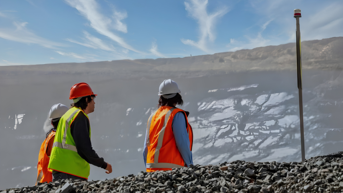
Choosing the right geophysical survey method is one of the most important decisions during a mineral exploration project. Every exploration program aims to reduce uncertainty before committing to costly drilling, but not every geophysical technique is designed to answer the same geological questions. Two of the most commonly discussed methods for subsurface resistivity imaging are the CSAMT Survey and the Magnetotelluric (MT) Survey.
Although both methods measure the electrical resistivity of underground formations, they differ significantly in how they generate electromagnetic signals, the depths they investigate, and the exploration objectives they are best suited for. Understanding these differences can help exploration companies select the most appropriate method for their project while optimizing both budget and data quality.
For Indonesia’s mining industry, where exploration often targets structurally controlled gold, copper, nickel, and geothermal resources, choosing between a CSAMT Survey and an MT Survey depends largely on the geological setting and the stage of exploration. In many cases, the two methods are not competitors but complementary tools that provide different levels of subsurface information.
This guide explains how each survey works, compares their strengths and limitations, and helps determine which method is most suitable for your exploration project.
Understanding the Difference Between CSAMT and MT Surveys
Both CSAMT Survey and MT Survey belong to the electromagnetic (EM) family of geophysical methods. Their primary objective is to map variations in underground electrical resistivity, allowing geologists to identify geological structures that may be associated with mineral deposits, geothermal reservoirs, groundwater, or major fault systems.
The most fundamental difference lies in the source of the electromagnetic signal.
A CSAMT Survey, or Controlled Source Audio-frequency Magnetotellurics Survey, uses an artificial transmitter installed some distance away from the survey area. The transmitter generates controlled electromagnetic waves across a range of audio frequencies, allowing survey teams to collect consistent and repeatable data. Because the signal is generated by the survey itself, acquisition parameters can be optimized according to the project’s objectives.
An MT Survey, on the other hand, relies entirely on naturally occurring electromagnetic fields produced by global lightning activity and interactions between the Earth’s ionosphere and solar activity. Instead of transmitting its own signal, the equipment measures these naturally occurring fields to calculate underground resistivity.
This distinction influences nearly every aspect of the survey, including investigation depth, data resolution, acquisition time, and the types of geological targets each method can best image.
How a CSAMT Survey Works
A CSAMT Survey operates by transmitting controlled electromagnetic energy into the ground using a grounded wire connected to a powerful transmitter. Receivers positioned along survey lines measure both the electric field and magnetic field generated by the transmitted signal.
The collected data is then processed through inversion software to create two-dimensional or three-dimensional resistivity models of the subsurface.
Because the transmitter operates across multiple frequencies typically between 0.1 Hz and 10 kHz, the survey can investigate different depths simultaneously. Higher frequencies provide detailed information about shallow formations, while lower frequencies penetrate deeper into the earth.
Depending on geological conditions and survey design, a CSAMT Survey can generally investigate from several tens of meters to approximately ~1–2 kilometers below the surface. This depth range makes it particularly effective for mineral exploration, geological mapping, hydrothermal alteration studies, and drill target definition.
How an MT Survey Works
Unlike CSAMT, a Magnetotelluric Survey does not require an artificial transmitter.
Instead, sensitive instruments record naturally occurring electric and magnetic fields generated by atmospheric lightning and solar interactions with the Earth’s magnetic field. Because these natural electromagnetic signals include extremely low frequencies, they are capable of penetrating much deeper into the Earth’s crust.
As a result, MT Surveys are widely used for regional geological investigations, deep geothermal exploration, tectonic studies, and basin-scale exploration where understanding large geological structures is more important than identifying specific drilling targets.
Although MT surveys provide exceptional depth penetration, the reliance on natural electromagnetic sources means survey acquisition often requires longer recording periods and may be influenced by natural signal strength and environmental conditions.
CSAMT Survey vs MT Survey: Key Differences
Although both methods produce resistivity models, their applications differ significantly.
| Comparison | CSAMT Survey | MT Survey |
| Signal source | Controlled artificial transmitter | Natural electromagnetic fields |
| Investigation depth | Tens of meters to approximately 1-2 km | Several kilometers to tens of kilometers |
| Resolution | High at shallow and intermediate depths | Better for deep regional imaging |
| Survey control | High | Limited by natural signals |
| Typical application | Mineral exploration and drill targeting | Regional geology and geothermal exploration |
| Data acquisition | Controlled and repeatable | Depends on natural field conditions |
Rather than viewing one method as superior, it is more accurate to recognize that each is designed to answer different geological questions.
Which Method Is Better for Mineral Exploration?
For most mineral exploration projects, a CSAMT Survey offers several practical advantages.
Mineral deposits are commonly associated with geological structures such as faults, hydrothermal alteration zones, intrusive contacts, fracture systems, and sulfide-rich environments. These targets typically occur within the depth range where CSAMT provides excellent resolution.
The controlled electromagnetic source also produces stronger and more stable signals than natural-source methods, allowing geophysicists to obtain detailed resistivity images suitable for identifying prospective drill targets.
However, it is important to remember that CSAMT does not directly detect gold, copper, nickel, or other minerals. Instead, it identifies geological conditions commonly associated with mineralization, helping exploration teams prioritize drilling locations more effectively.
Why Indonesian Exploration Projects Often Benefit from CSAMT Surveys
Indonesia presents one of the world’s most geologically diverse exploration environments.
Located along the Pacific Ring of Fire, the country contains extensive volcanic arcs, active tectonic boundaries, and major fault systems that host a wide variety of mineral deposits, including porphyry copper-gold systems, epithermal gold deposits, nickel laterites, and geothermal resources.
Many of these mineral systems are structurally controlled, making resistivity imaging an important component of exploration programs.
For example, CSAMT Survey has been successfully applied in Indonesian gold exploration projects to map hydrothermal alteration, silicified zones, breccia bodies, and structural controls before drilling. These geological features often produce measurable resistivity contrasts that can be detected through controlled-source electromagnetic surveys.
Indonesia’s tropical climate also creates thick weathered profiles that may conceal bedrock geology at the surface. A CSAMT Survey helps exploration teams image beneath this weathered cover, improving geological interpretation while reducing uncertainty during target generation.
When Is an MT Survey the Better Choice?
Despite the many advantages of the CSAMT Survey, there are situations where an MT Survey is more appropriate.
Projects investigating deep geothermal reservoirs often require imaging several kilometers beneath the surface, beyond the practical depth limits of CSAMT. Likewise, regional tectonic investigations, crustal studies, and basin-scale geological mapping benefit from the exceptional penetration depth of natural-source MT methods.
In Indonesia, MT surveys have been widely used to support geothermal exploration because geothermal systems frequently extend deep into volcanic regions. These projects require understanding the regional geological framework rather than simply identifying localized drilling targets.
Therefore, the exploration objective, not the technology itself should determine which method is selected.
Can CSAMT Survey and MT Survey Be Used Together?
Yes. In fact, many modern exploration programs combine both methods.
Rather than competing technologies, CSAMT Survey and MT Survey provide complementary information.
MT offers regional geological context by imaging deep crustal structures and major fault systems, while CSAMT provides higher-resolution imaging at shallow and intermediate depths where exploration drilling typically occurs.
Using both methods allows exploration teams to develop a more comprehensive geological model while reducing uncertainty across different exploration stages.
A typical integrated exploration workflow may include regional geological studies, airborne magnetic surveys, MT surveys for regional interpretation, CSAMT Survey for target refinement, followed by drilling to validate exploration targets.
How Puncakbaru Jayatama Supports Exploration Projects
Selecting the appropriate geophysical survey requires more than choosing the latest technology. Survey success depends on understanding project objectives, geological conditions, and the type of information needed to support exploration decisions.
At Puncakbaru Jayatama (PTPJ), CSAMT Survey services are designed to help mining and exploration companies obtain high-quality subsurface resistivity data for mineral exploration projects across Indonesia.
By integrating CSAMT with geological mapping, drilling programs, geochemical investigations, and other geophysical methods, exploration teams can develop a more reliable understanding of subsurface conditions before making significant drilling investments.
Rather than treating geophysical surveys as standalone solutions, PTPJ emphasizes an integrated exploration approach tailored to each project’s geological challenges and exploration goals.
Frequently Asked Questions
What is the main difference between a CSAMT Survey and an MT Survey?
The primary difference is the electromagnetic source. A CSAMT Survey uses a controlled artificial transmitter, while an MT Survey measures naturally occurring electromagnetic fields generated by atmospheric and solar activity.
Which survey investigates deeper underground?
MT Surveys generally investigate much greater depths, often extending several kilometers into the Earth’s crust. A CSAMT Survey is optimized for shallow to intermediate depths, typically reaching approximately ~1–2 kilometers.
Is a CSAMT Survey better than an MT Survey?
Neither method is universally better. A CSAMT Survey is often preferred for mineral exploration and drill target definition, while MT Surveys are more suitable for deep regional investigations and geothermal exploration.
Can CSAMT Survey detect gold directly?
No. A CSAMT Survey measures electrical resistivity rather than detecting minerals directly. The survey identifies geological structures and alteration zones that may indicate favorable conditions for mineralization.
Which survey is more suitable for mineral exploration in Indonesia?
For many exploration projects involving gold, copper, and nickel, a CSAMT Survey is often the preferred method because it provides detailed imaging of geological structures within typical drilling depths. However, geothermal and deep regional studies may benefit more from MT Surveys.
Conclusion
Choosing between a CSAMT Survey and an MT Survey ultimately depends on the geological objectives of your exploration program.
If your priority is identifying mineral exploration targets, mapping hydrothermal alteration, locating structural controls, and improving drill targeting at shallow to intermediate depths, a CSAMT Survey provides the resolution and control needed for informed exploration decisions.
If your project focuses on deep geothermal systems, regional tectonic investigations, or crustal-scale geological mapping, an MT Survey offers the depth required to understand broader geological frameworks.
In many modern exploration projects, the most effective strategy is not choosing one method over the other, but integrating both technologies to create a more complete understanding of the subsurface. Combining regional context from MT with detailed target definition from CSAMT helps reduce exploration risk while improving confidence before drilling.
Explore Your Project with PTPJ’s CSAMT Survey Services
Every exploration project has unique geological challenges, and selecting the right geophysical method can significantly influence exploration success. Puncakbaru Jayatama (PTPJ) provides professional CSAMT Survey services tailored to Indonesia’s diverse mineral exploration environments, helping clients generate high-quality subsurface data for smarter exploration planning.
Whether you’re evaluating a new prospect, refining drill targets, or integrating multiple geophysical datasets, our experienced team can help you determine how a CSAMT Survey fits into your exploration strategy. Contact PTPJ today to discuss your project and discover how advanced geophysical surveys can support better exploration outcomes.